Thursday, December 20, 2012

Usery Ridge Line Loop

What:   Usery Mountain Ridge Line Loop
Where: Usery Mountain Regional Park (Mesa Arizona)
When:  Dec 20, 2010
Who:    Solo Hike
Why:    Tired of the treadmill desk...needed to get out in the fresh air!

Draw backs of the Treadmill Desk (hit 55 miles this week so far) ... could not stand one more minute walking and working today...had to get out and breathe some fresh air. I have been planning to take a group of friends this weekend to explore/route the Usery Mountain Ridge Line. I figured there must be a trail across it but couldn't find anything in guidebooks or internet...but the more I thought about it...the more I worried that I would be getting my pals in over their head...so I decided to speed hike it solo :) Was definitely an adventure...can't believe it is so close to my back yard! Some good elevation gain, narrow ridge line portions, route finding, scrambling, and a little off trail fun!

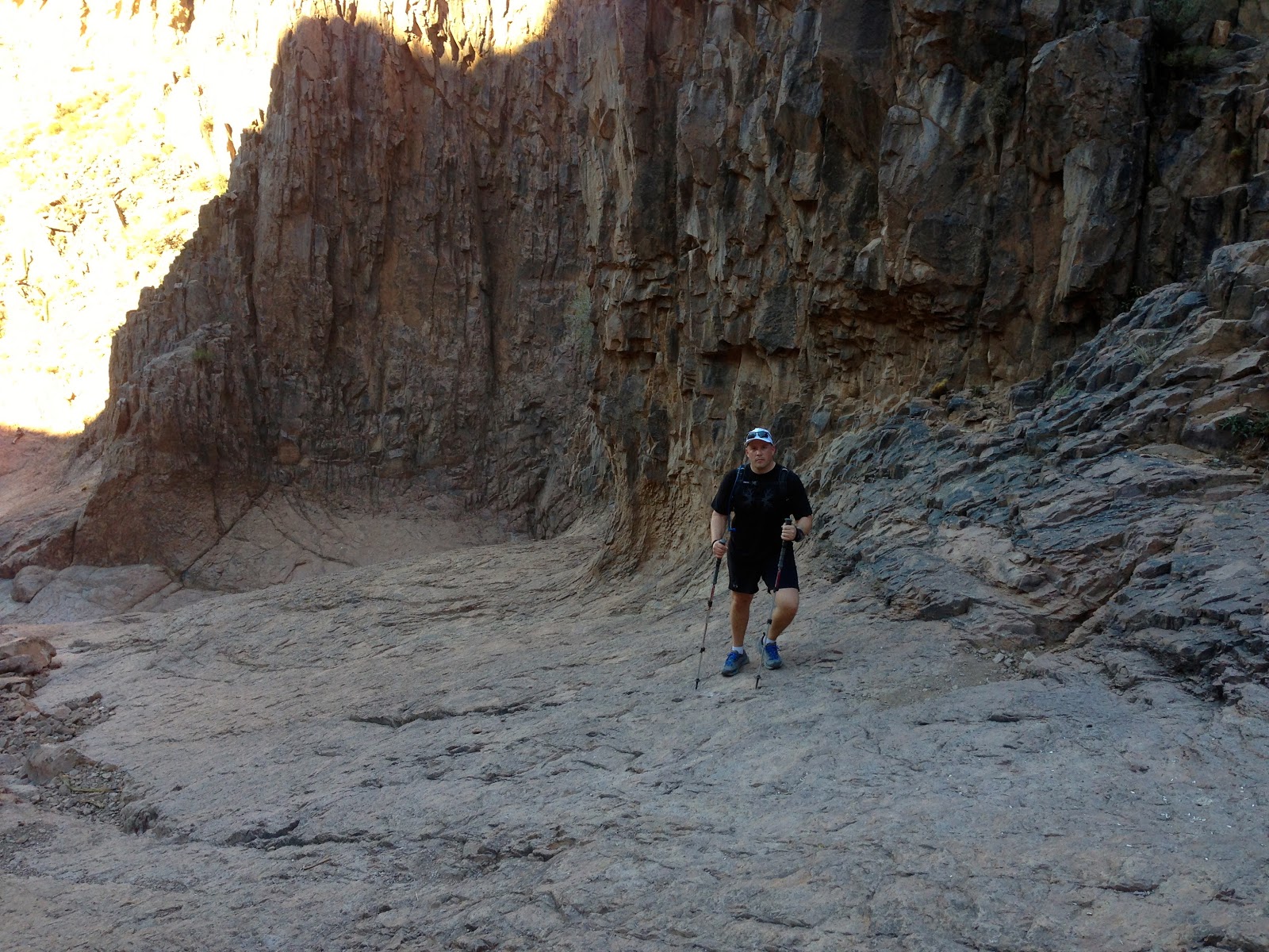
Route Description: I followed the Wind Cave Trail, past the cave to the ridgeline...summited and then headed North. There is a faint trail that can be hard to follow. Exit down to Pass Mountain Trail was a little tricky and I did get off trail. Looking back on it, I see where I went wrong...will get another chance this weekend.

Distance: 5.8 miles
Time:      2 hours 44 minutes
Elevation: 1,594 Feet gain

Usery Mountain Ridge Line...Wind Cave at the far right end of the yellow band.


Elevation Profile


Yeah...I pushed it pretty hard to finish the route in 2.5 hours...would have liked to slow it down and take more pictures.

 Courtesy of the new Garmin Fenix! Sold my old iPhone and used a gift card...great replacement!

 Google Earth Image...Ridge Line Route.


Was unable to find the path down this small cliff band...ended up circling back and side hilling it...probably cost me 20-30 minutes.


Hiking up the Wind Cave trail. Maintained about 3mph entire way...no stopping until topping out on the ridge line.


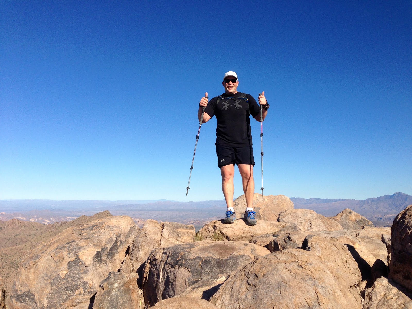
At the summit of the Wind Cave Trail (several hundred yards up from the Wind Cave.)


Panorama shot from the iPhone...same location.

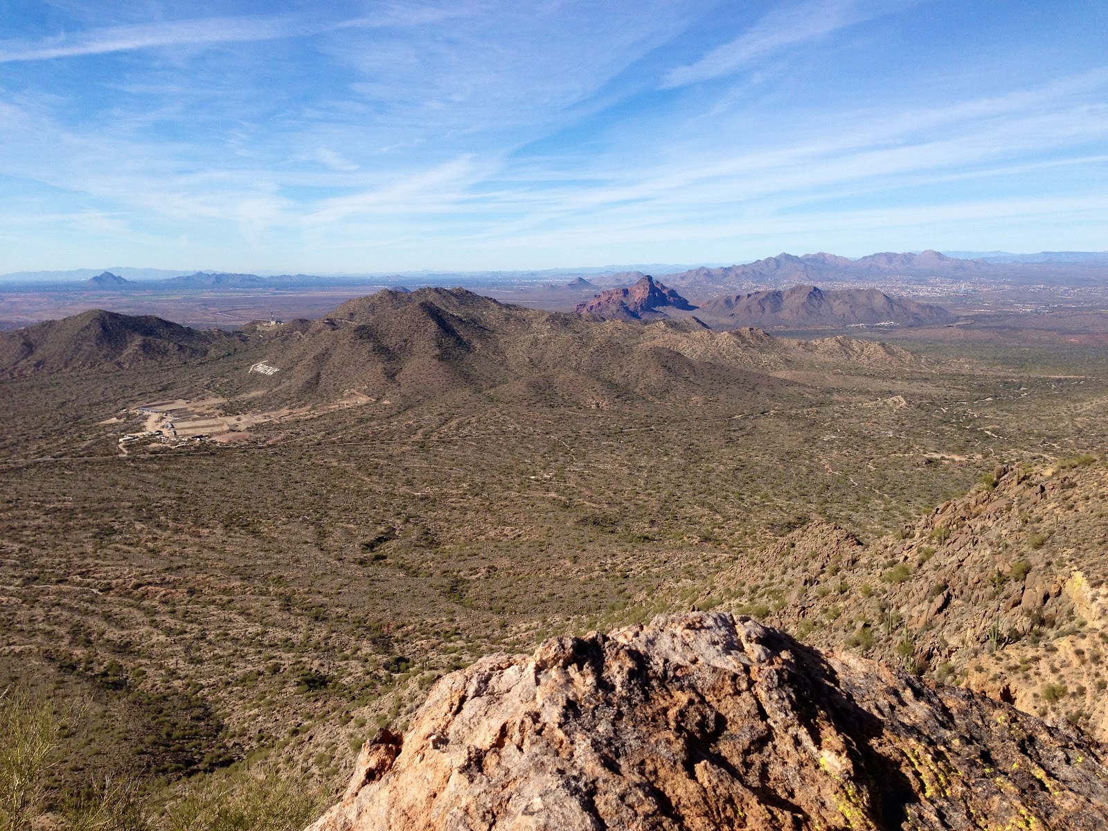
Looking back towards Mesa.

 Looking North along the Ridge Line. Route stays fairly close to the West Edge the entire way.

 Highest Point on the Ridge. Geo Cache and Summit Register Ammo can...view looking down towards Pass Mountain Trail.

 Summit Register


Panorama from highest point along the route.

 Looking south...back along the ridge line.

 Usery Shooting Range and Red Mountain can be seen looking West.

 Ridgline looking North. 4 peaks in the distance.

 The last part of the ridge line...descent was a little difficult to follow and I did get off trail...see Google Earth images above.

Summary: Had a great time...was actually glad I wasn't able to find any route descriptions for this...made it more enjoyable. Pushed hard and had a great time...excellent views of the valley and just a little sense of the unknown...good time!

Saturday, December 15, 2012

Superstition Ridgeline Hike

What:   Superstition Ridgeline Hike
Where: Superstition Wilderness Arizona
When:  Nov 24, 2012
Who:    Justin & Leonard
Why:    Have been looking up at this ridgeline daily for 10+ years...time to gettr done.

The Superstition ridgeline trail is one of the most scenic I have done in the Phoenix area. The sharp edge of it can be seen Mesa, Gold Canyon, Apache Junction...it has been calling to me for a long time. It is a little over 12 miles long, 5000 feet elevation gain over all, and requires some scrambling and route finding...although not much.

This is a through hike for Justin and I...and we convinced my sweet wife to help us with the car shuttling. We would complete the route from East to West...Carney Springs trail head to Syphon Draw. Other guides say this route is very difficult and will require 8-12 hours of hiking...we were on the move for nearly 6 hours, but had 2 hours of breaks...pictures, food, etc...


Elevation Profile.


Route mapped and charted using the Garmin 305, then plugged into Strava.

Justin and I at Carney Springs trail head.

Looking up towards Superstition Peak...4 miles and 3000+ feet to the summit.

Mushroom Rock?

Carney Springs Canyon.

Hoodoo's can be seen throughout this hike...great views as you gain the ridgeline

Trail Marker

It had rained a few weeks earlier in the Supers...not sure if this is coming from the spring or was left over from the rain. Either way, didn't look to tasty.

Nearing the top of Superstition Peak.

More Hoodoos.

Looking down towards Gold Canyon.

Superstition Peak Summit - 5057 feet - Highest point in the Superstition Wilderness.

Geological Survey

Registering at the Summit.

The view back towards Roosevelt Lake.

The summit requires a 15-20 minute detour from the ridgline trail. Back on it now, heading to Syphon draw...8 miles to go.


A little scrambling...nothing serious. Kind of had to spot Justin in this picture...really blends in.

Looking west towards Mesa...Ridgeline Trail follows the highest points...all the way to Flat Iron.

Looking down Hieroglyphic Canyon.

Great views of Weavers needle throughout the hike...been there, camped on the summit :)

Looking down towards Gold Canyon.

We were told that an 80 year old hiker had died on the trail a year ago.

Looking down the ridgeline.

Panoramic.

As you can see...this is not a well maintained trail...although fairly easy to follow.

Gap leading to Flat Iron.

Hoodoo's near Flat Iron

Heading down Syphon Draw...first time I have really had pain in my knees :) ... was a bit of a trek finishing this hike off.

The only 200 feet of hiking up...to get down the 3000 foot decent to Lost Dutchman Park.

Syphon Draw...almost done.

Looking back to the Flat Iron, and Syphon Draw.


Another "Chicken Ledge." Justin was too scared to climb to the top of the point...I had nothing to prove so I didn't either :)


Summary: This hike has replaced Syphon Draw as my favorite in the valley. It is long and the trail can be rough in spots, but the views are incredible. Was good to get out and push myself in the mountains and spend time with a good friend. Definitely recommend this one and will do it again! Whats Next?