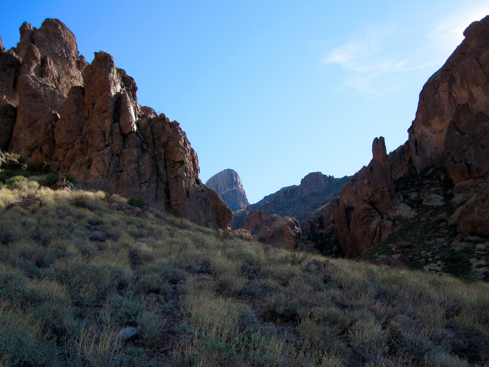
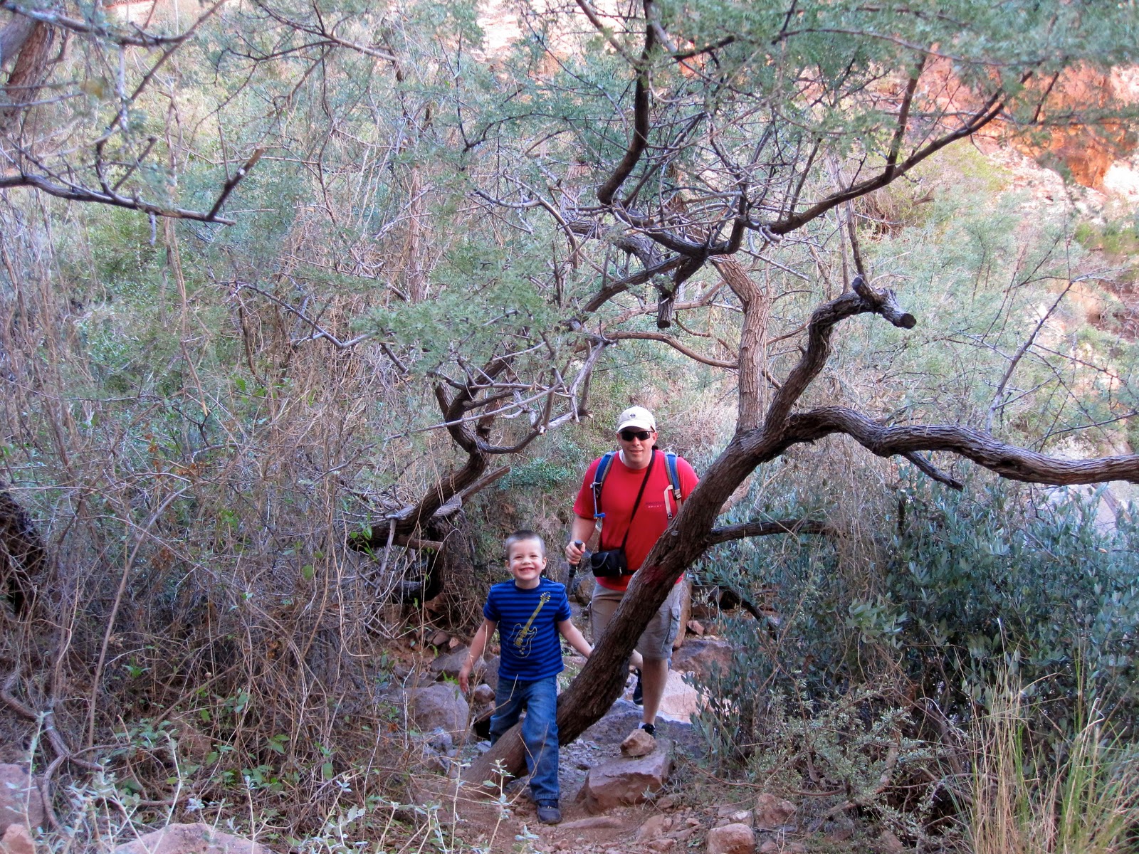
Where: Lost Dutchman State Park "Syphon Draw Trail" When: Jan 15, 2011 Who: Zito Fam Description: Syphon Draw is one of my favorite local hikes...one of the most scenic in the Phoenix area...love to get out in the "Supes" as often as possible! Great to get Loree and the Zito Kiddo's out for a hike...they definitely got a workout :)
(Stole this pic from the web...great view of the Supes from the trailhead.)
If you know me...I do tend to get myself or those with me in a little over our heads at times. This little Saturday hike could fit into that category. I love hiking in the Supes and this trail is one of my favorites. I have hiked it several times alone and with friends but never with my family. It is gorgeous once you start up into the canyon...but I had forgotten that is pretty challenging :) Especially for a 4 year old! Kids did great and definitely got a good workout...4.6 miles and 1650 Feet elevation gain!
Stats courtesy of the ole Garmin 305...still a great watch!
Google Earth map of the route
Ready to roll...Trailhead begins on the "Treasure Loop" trail 56
You do get a more detailed map for the $8 that it costs to get into the park.
Warming up...74 degrees in January...pretty tough out here in AZ.
The Flat Iron can be seen back in the distance.
Carly coming through the brush in Syphon Draw.
Blake is gaining a little momentum now...we are close to our turn around spot...he told me his legs were feeling fuzzy :) Mine too...
Great spot to enjoy the view and have lunch. We parked it here for 30-40 minutes then headed back down.
Looking back down at the valley from Syphon Draw...you can see Usery mountain.
The slick rock is great when it is not wet...Blake climbing around.
Good Times....Kaitlyn, Carly, Blake.
Me and my buddy.
Kaitlyn, Loree, Carly...having a snack.
Not the most healthy hiking food...but everyone made it up so eat whatever you want :)
Blake and I heading back down...a bit after this he got to ride on the shoulders the rest of the way out.
Where: Beartooth-Absoraka State Park Montana When: Aug 22-25, 2010 Who: Justin and Leonard Description: "The Beaten Path" 26 mile backpacking route from Cooke City to East Rosebud Lake near Red Lodge Montana. 4 days, incredible views, great backpacking, and good fishing.
The "Beaten Path" route through the Beartooths has been on my List for a couple years. It is described in several trip reports and guide books as the most scenic 26 miles in a park with a 700+ mile trail system. Our plan initially was to borrow 2 cars from family living in Billings, drop one off at the Clark Fork Trailhead near Cooke City and then drive the other back to East Rose Bud near Red Lodge. Once in Billings I was able to coherce my great brother Nate into dropping us off and picking us up...Thanks Nate!!!! Definitely saved us from getting a seriously late start and many hours of driving!!!
Justin's new Garmin recorded our route...27.3 miles from Trail head to Trail head...definitely would be more work beginning from East Rosebud.
Justin also brought the "Spot Locater" with us...it would upload our location and status regularly and send and "we are doing great" message each night as we stopped to camp. Our wives were happy to see we were doing ok each day and the kiddo's could track our progress before and after school...very schweet!
We began our Beaten Path route from the Cooke City side. It involved about 2000 less feet of elevation gain and put us a couple hours closer to our Billings...our destination for Wednesday night. Most guides recommend 5-10 days for this route...not because of the difficulty but the incredible views keep a 3 mph hiker to about a 1 mph average. Justin and I found this to be true very quickly.
Sunday 3:30pm - starting out from Clarks Fork Trail head (Trekking poles, Packs, Fly Rods...ready to roll.)
Crossing Meadow on Day 1 - 6 miles to Russel Lake.
1st of many small waterfalls.
Made it to Russel Lake - Gorgeous place to camp and do a little fishing.
Campsite at Russel Lake - Got some rain and made it down to 32 degrees...pretty chilly for late August!
Justin's first fish on a fly rod...just as I am taking the picture the fish flips and he almost loses it...
ahhh...there it is. Monster trout...
Well...the trout were many at Russel lake...just not large :) This one was tasty.
Heading over the Beartooth plateau today...next campsite will be Twin Outlets Lake.
Justin classic's...3 of many photo's he took on this route with his iPhone. I believe these are Skull Lake and Bald Nob...they are running together now that it has been a few days.
Trout are a little bigger up here are Fossil Lake. We are at a little over 10,000 feet...fishing is great but a storm ran us out. We would have like to fish here for several hours.
Dewey Lake - just down from Fossil on our way to Twin Outlets Lake. We considered staying here for the night but at the higher lakes there is a fire restriction.
It seemed that there was a waterfall or gorgeous stream at every turn...on a 26 mile route, there were many many "photo opportunities."
Was nice to get cleaned up at Twin Outlets lake...but, snow and glacier fed lake means...phreaking cold! It could be compared to a full body brain freeze...possibly multiplied significantly.
Day 3: Hiking towards Rainbow Lake and Impass falls.
Day 3 - Hiking down to Rainbow Lake - Above are the beginnings of Impass Falls
Impass Falls - Not sure how high...would guess a couple hundred feet.
Rainbow Lake - This is the actual lake color...was an amazing blue green!
Getting in some more fly fishing. The trout loved hoppers...even caught a small Golden!
Day 4 - Hiking out to East Rose Bud Lake. This is Rim Rock...one of the most incredible views so far!
Managed to talk a Forest Service bridge inspector to take our picture on the way out...Thanks Buddy!
Nearing Elk Lake in the East Rosebud canyon. The 1st several miles of this area was burned 10 or so years ago...still beautiful...especially coming from the Phoenix!
Definitely the most gorgeous backpacking trip I have spent anywhere! I think the sign may be propping us up a bit...but it was sure great!
Did not spend enough time picking berries...but August is the time to be in the Beartooths. Wild raspberries and huckleberries were everywhere.
East Rosebud Trail Head
So Justin and I had finished our camel backs, had not access to the "private lake" and had several hours to wait for our ride to come get us. Lucky for us we stumbled on this little store...closed but had everything we needed!!! A phone for local calls, wifi, and a pepsi machine!!!! Justin had five 1 dollar bills...these Dr. Peppers are worth the 1500 miles if you can make it...trust me!
The wait got a little warm and Justin and I were a lot ripe...decided to head down to the stream and get cooled off. Definitely not as cold as the upper lakes...but brisk baby
Headed back to the store to get comfy and wait it out for our ride. This chipmunk was pretty conditioned to people. Justin fed it some sunflower seeds and it instantly became our best friend...
It was pretty crazy...read my book with me for a bit. It did get old after a while though...he started trying to chew holes through our pants pockets to get more seeds...
Mountain House chicken and rice have nothing on the 1/2 lb Grizzly Burger at the Grizzly Bar in Roscoe! A definite place not to miss coming out of the mountains!
For 90% of the great Beartooth experience...have a Dr. Pepper in Alpine from the Pepsi machine near East Rosebud lake, swim in the stream near the lake, and stop at the Grizzly Bar for the best Burger you have ever had...not sure if it would all be the same though without 4-7 days on the trail :)
BEATEN PATH CONCLUSION:
26 miles of gorgeous trail...definitely the most scenic backpacking trip I have done. The trail was in excellent condition and the "beaten path" does not describe it well. We saw maybe 3 groups on the first day, 1 on the second and third day, and a few on the way out. It did not seem crowded whatsoever. I will do this route again in the future and take more time...there are many opportunities to get off the beaten path...or even just relax and fish for an entire day. Definitely an adventure to be on anyone's life list!
Where: Usery Mountain Regional Park - Mesa AZ When: June 1st, 2010 5:00am Who: Leiftime Fitness group Description: Tuesdays mornings are now "Wind Cave's" trail run at Leiftime Fitness . 3 miles out and back with 900ft elevation gain.
Haven't done many trail runs since Peralta to First water...when I was invited to hit the trials with some of the trainers from the Crossfit gym I go to I signed up. (Thanks Sarah for getting us out there!!) Usery Mountain Regional Park is about 10-15 minutes from my house and Loree and I road bike past it all the time. I have run several trails there including "pass mountain" but it never really occured to me to run/hike/stumble up the wind cave trail.
Garmin 305 route tracking for the Wind Caves Trail run....stats listed below.
I missed the group of 3 by about 5 minutes so started the run on my own from the trail head. In the first minute or 2 my heart rate hit about 180bps...so I had to slow down and more of fast hike/jog up. The trail is pretty rough in spots requiring some hands and scrambling but just steep enough in many spots to prevent me from being able to run...
Looking back down the trail from the top. (25 minutes to the top...1.5 miles)
View from the top...overlooking beautiful Apache Junction :)
Looking out from the Wind Caves towards Rio Salado Sportsmans Club...good place to shoot.
I took about a minute break at the top and headed back down. I can get all 200+ lbs of me moving pretty fast down hill...took about 17 minutes to get back down to the truck. Overall, definitely a great morning workout...feels more like fun than exercise...trail running is great.
Signed up for an account on Garmin Connect...you can upload/store all of your garmin data from workouts and gives some great graphs and details...
These are from Garmin Connect...heart rate average 140bps, good climb up and down...and yes, pretty slow "minutes/mile." Definitely room for improvement.
Doing this again tomorrow morning...June 8...anyone up for it?